MatrixSpace Newsroom
Press Releases
MatrixSpace in the News


The US Army is standing up a new "fast lane" for counter-UAS and tactical edge systems, and it's starting to fill up. Built around live experimentation, prize challenges and a European-based marketplace, the model aims to move vetted systems from demo to delivery in months instead of years for both U.S. and NATIO forces.


“MatrixSpace finally brings to fruition a long-held goal of the military for agile, robust networked detection. The military is accomplishing what it has long sought after for decades, this idea of dismounted, non-fixed, network-programmable radar across otherwise dispersed, non-linear kinds of environments.”


Winners of the U.S. defense Counter-small Unmanned Aircraft System (C-sUAS) Low-Cost Sensing (LCS) challenge have been announced. MatrixSpace Inc. was selected as the overall winner and will receive the top award of $500,000. Following the overall winner, the top three performers — Guardian RF, Hidden Level and Teledyne FLIR Defense — will each receive award amounts of $100,000.


The Defense Innovation Unit (DIU), in close collaboration with U.S. Northern Command (USNORTHCOM), Joint Interagency Task Force 401 (JIATF-401), U.S. Army, U.S. Navy, U.S. Marine Corps, and U.S. Indo-Pacific Command, announced top-performing solutions for the Counter-small Unmanned Aircraft System (C-sUAS) Low-Cost Sensing (LCS) challenge.


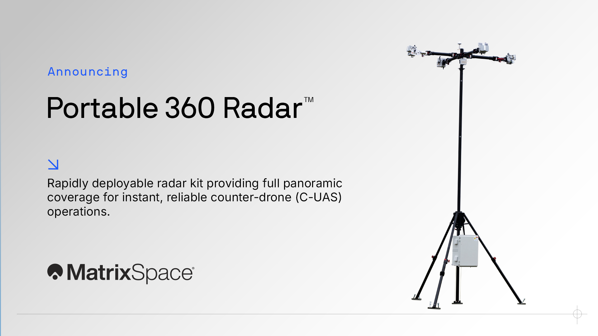
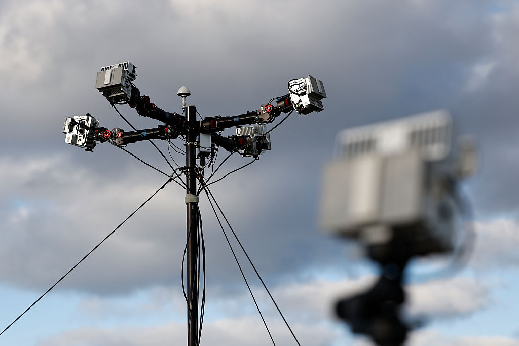
MatrixSpace, a leader in portable AI-enabled radar for counter-UAS (C-UAS) applications, announced the availability of its new Portable 360 Radar™, a rugged, highly mobile system designed to deliver reliable close-airspace awareness with full panoramic coverage.


MatrixSpace was selected as the overall winner of the Defense Innovation Unit’s Counter-UAS Low-Cost Sensing Challenge after live testing during USNORTHCOM’s Falcon Peak 25.2 exercise. The company’s radar-based system outperformed more than 115 submissions and earned a $500,000 award, with eligibility for follow-on contracts.


The Defense Innovation Unit (DIU), working with a cross-service team led by U.S. Northern Command (USNORTHCOM) and Joint Interagency Task Force 401 (JIATF-401), has named MatrixSpace Inc. the overall winner of its Counter-small Unmanned Aircraft System (C-sUAS) Low-Cost Sensing (LCS) challenge.


Winning solution demonstrates scalable, cost-effective sensor technology to strengthen the Nation’s layered defense and advance DOW strategic priorities
Come Meet With Us
Videos
Rapid, resilient counter-drone detection anywhere. Introducing MatrixSpace Portable 360 Radar™: a fully transportable, ruggedized radar kit that sets up in minutes, operates with minimal power, and provides resilient panoramic coverage wherever you need it that easily scales to assure public safety.
