DroneSense & MatrixSpace: Situational Awareness to Unlock Critical Response

Today, first responders in central Texas continue to perform search, rescue and recovery efforts along the Guadalupe River. Since the start of this tragedy, drones have been a critical part of the response equation providing lifesaving visual assessments to public safety teams, and first aid to victims otherwise unreachable.
Scenes like this of drones and first responders working together in search & rescue, fire, crime and other public safety operations are now common. But we can unlock even more potential for the safe use of drones in lifesaving emergency response.
DroneSense is a leading provider of drone management software that helps public safety agencies like law enforcement, fire, paramedic, emergencies services and public land management to leverage drones for community service in crisis situations. The DroneSense platform orchestrates everything from aircraft safety to fully remote collaborative mission operations.
Fully remote (BVLOS) flight operations allow agencies to dramatically multiply their response capabilities. But these operations also require a higher level of airspace awareness to ensure safety and compliance with federal airspace management. Now DroneSense customers can now seamlessly conduct remote operations with comprehensive airspace awareness in a common operating picture with the inclusion of MatrixSpace radar detection intelligence.

This new integration allows operators in DroneSense Remote to see MatrixSpace radar detections and aircraft tracks, including the object’s classification as plane, helicopter or drone.

With the 4D detection telemetry provided by MatrixSpace, pilots can take appropriate evasive action to avoid potential conflict with other aircraft. The situational awareness provided by MatrixSpace radar has been accepted by the FAA as part of layered safety mitigations enabling fully remote DFR operations by Campbell Police Department and Palm Springs Police Department.
Programs like these demonstrate how fully remote drone-as-first responder programs can enhance public safety, responsibly. Together, MatrixSpace and DroneSense are innovating solutions to support the use of drones for good. Contact us to see how your agency can expand operations and scale emergency response safely and efficiently.
Keep Reading
.jpeg)
MatrixSpace demonstrated portable, resilient counter-drone capabilities at the U.S. Army’s Flytrap 5.0 exercise, integrating mobile radar and AI systems with Anduril’s battle command network. The deployment validated effective small-drone detection, operation in contested environments, rapid dismounted deployment, and interoperability through open architectures for modern battlefield airspace awareness.

Rising drone threats are driving organizations to adopt systems that detect, track, and identify them. Effective defense requires layered, multi-sensor approaches, with radar as the backbone for real-time threat assessment.
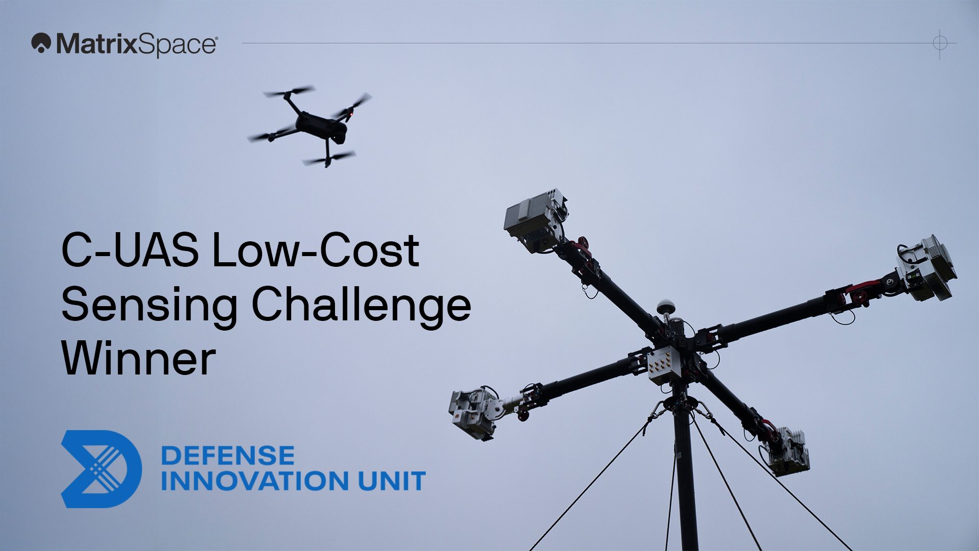
We're proud to have won both the DIU C-UAS Low-Cost Sensing challenge and the Army xTechCounter Strike competition. Innovation like ours is needed to modernize national security capabilities.