Radar, Aviation Radionavigation vs. Radiolocation—Why Your Use Case Matters

Radar is a powerful sensor modality with distinct advantages for its use in a number of applications. By virtue of using radio waves to “see” things without the limitations of light and sound, we use radar to help guide vehicles and protect people, places and things. But radio waves are tightly regulated by governments, and their usage for these purposes is also strictly monitored for safety and to ensure reliability across radio spectrums. We use a lot of devices in our daily lives, from wifi routers to cell phones to satellite radios, and they all need to “stay in their lane”.
For anyone implementing radar sensors in the United States, complying with FCC regulations on their use is critical. Doing so starts with your use case. For the two most common use cases MatrixSpace supports today, two sections of the FCC’s regulations apply and require specific equipment authorization.
Radionavigation
The FCC defines radionavigation as a radiodetermination service used for navigation, including obstruction warning. It involves determining the position, velocity, or other characteristics of an object using the propagation properties of radio waves. Essentially, it's the application of radiodetermination to provide navigation assistance.
Drone operators using radar to safely detect and avoid other aircraft perform aviation radionavigation. Flying drones beyond visual line of sight (BVLOS) falls into this category, including remote operation in drone as first responder (DFR) programs. The use of radar for aircraft radionavigation is governed under the regulation 47 CFR part 87. Equipment used for this purpose must be certified by the FCC and its authorization is unique from maritime radionavigation (and vice-versa).
Note, all radionavigation applications also require coordination with the FAA to enforce aviation safety standards.
Radiolocation
The FCC defines radiolocation as a type of radiodetermination, but it's distinct from radionavigation. In short, radiolocation uses radio waves to determine the location, direction, speed, or other characteristics of an object, but it's not used for navigational purposes. This means it's not used for finding one's way around like a GPS or other navigation systems.
Companies using radar to detect and track potentially dangerous drones, vehicles or people for security and safety perform radiolocation. Counter-drone monitoring near prisons, stadiums and secure campuses falls into this category. FCC 47 CFR part 90 controls radar for radiolocation, and devices used in this manner must also be authorized by the FCC.
Why the fuss?
Public safety and private security communities are increasingly turning to radar sensors as solutions for situational awareness—for both airspace safety (DAA/BVLOS), drone detection and perimeter security monitoring. In many cases, radar sensors support more than one of these use cases at the same time. This convergence, and occasionally ambiguous licensing and certification specifications from sensor manufacturers, has resulted in confusion amongst program owners about the status of their solutions. Be sure you research the ramifications of technology used to support your safety and security programs. To clarify FCC compliance requirements for DFR BVLOS programs, DRONERESPONDERS a nonprofit organization who supports the first responder drone community published this list of guidelines on the use of radar obtained from FCC legal counsel. In addition to your legal counsel, industry groups like DRONERESPONDERS, SIA, and P3Tech’s Law-Tech Connect are good resources for guidance. The FCC also publishes its equipment authorizations and licenses.
MatrixSpace Radar is licensable for use in radionavigation by the FCC under part 87, and has also been approved for radiolocation operations vis-a-vis a waiver under its part 87 grant. MatrixSpace systems have also been included in several approved FAA BVLOS waivers for airspace awareness (detect and alert). For more information about MatrixSpace radar compliance, both in the United States and internationally, contact our sales team.
Keep Reading
.jpeg)
MatrixSpace demonstrated portable, resilient counter-drone capabilities at the U.S. Army’s Flytrap 5.0 exercise, integrating mobile radar and AI systems with Anduril’s battle command network. The deployment validated effective small-drone detection, operation in contested environments, rapid dismounted deployment, and interoperability through open architectures for modern battlefield airspace awareness.
Rising drone threats are driving organizations to adopt systems that detect, track, and identify them. Effective defense requires layered, multi-sensor approaches, with radar as the backbone for real-time threat assessment.
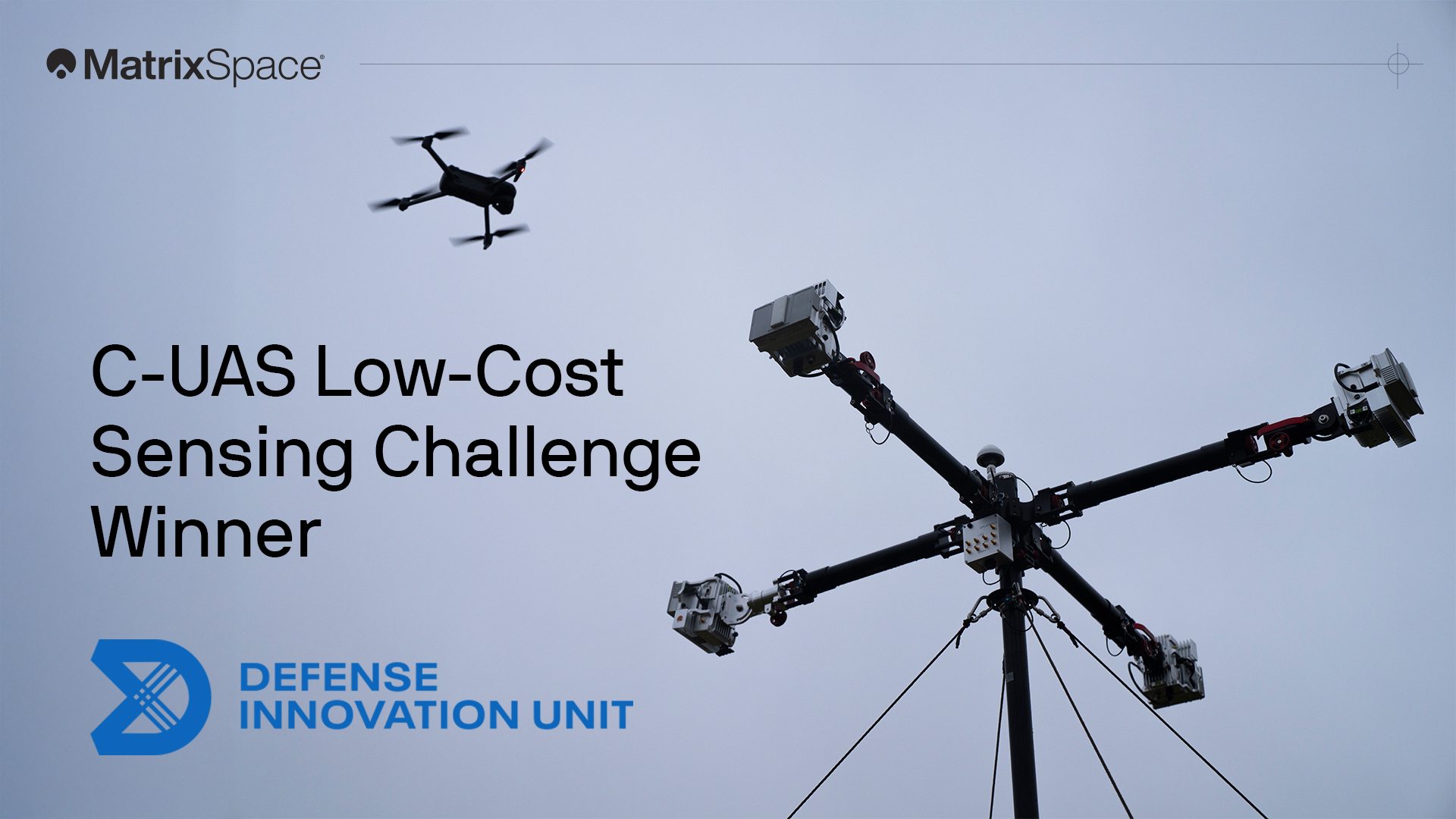
We're proud to have won both the DIU C-UAS Low-Cost Sensing challenge and the Army xTechCounter Strike competition. Innovation like ours is needed to modernize national security capabilities.